
A Free AI Tool Is Mapping Senegal's Small Farms From Space
Knowing which crops are growing where is basic information for food security planning — but on small, mixed farms it is hard and expensive to collect. A peer-reviewed study from the University of Cambridge, published on 29 September 2026, shows that Tessera, a free and open-source AI model, can map smallholder crops in Senegal from satellite images using far less ground data and computing power than the alternatives. Here's what the researchers found, where the limits are, and why it matters for farming beyond Senegal.
- Cambridge researchers tested Tessera on crop mapping in Senegal's groundnut basin, working with the UN World Food Programme (WFP) [1].
- Tessera identified crops correctly 84% of the time, and in one scenario it was 28% more accurate than the next-best method [1, 2].
- It needed only a fraction of the computing power and labelled ground data of other approaches, and it held up when applied to a year it wasn't trained on [1].
- The model's software is open source and its embeddings are free to use, unlike Google DeepMind's comparable AlphaEarth model, whose underlying model is not public [1, 4].
- Limits remain: accuracy fell in later years, apparently because of patchy ground survey data, and secondary crops in mixed fields were not tested [1].
What the researchers did
The study, led by Madeline Lisaius with colleagues S. Keshav, A. Blake and C. Atzberger, was published in the journal Environmental Research: Food Systems [2]. The team produced crop maps of part of Senegal's groundnut basin for 2018, 2019 and 2021, and compared Tessera with two widely used satellite mapping methods and with Google DeepMind's AlphaEarth [1].
They judged each approach on four things: accuracy, whether the results were plausible, whether a model trained in one year still worked in another, and how accessible it is — including computing cost [1, 3]. Tessera came out best overall. The work was funded by UK Research and Innovation and Mantle Labs [1].
84%
of crops correctly identified in tests [1]
28%
more accurate than the next-best method, in one test across years [1, 3]
10 m
resolution: each 10-metre patch of land is analysed [1]
How it works
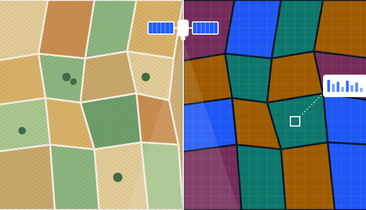
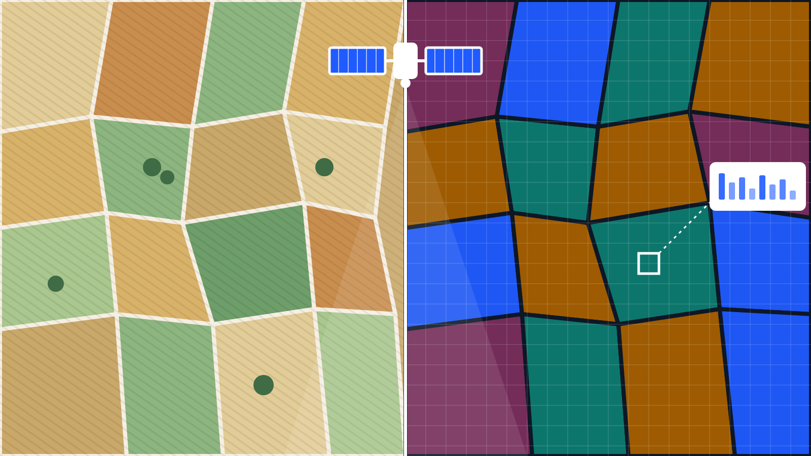
Tessera is a "foundation model" trained on years of satellite imagery. It looks at a full year of radar and optical images from the European Sentinel-1 and Sentinel-2 satellites, and compresses each 10-metre patch of land into a string of 128 numbers, called an embedding [1, 4]. That embedding captures how the patch changes through the seasons — planting, growth and harvest — which is what distinguishes millet from groundnut or fallow land.
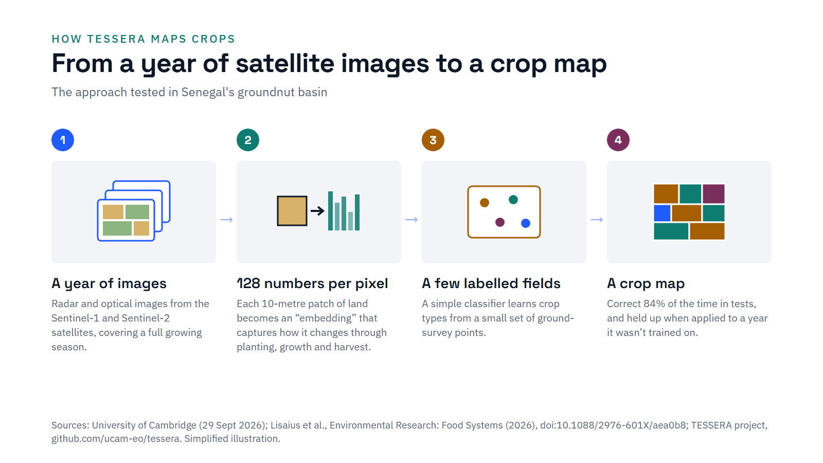
Because the hard work is already done, a simple algorithm needs only a few labelled field points to turn the embeddings into a crop map. That matters in places where, as Lisaius notes, local governments can often afford to collect ground data only every few years [1]. Tessera performed best when trained on one year's data and applied to another, which suggests it could help fill in the years between surveys.
Why small farms are hard to map
Most satellite crop mapping was designed for large, uniform fields. Small farms are different: plots are tiny, often irregular, and frequently mixed. Yet they matter enormously. According to FAO research, farms smaller than two hectares are the vast majority of the world's farms and produce around a third of its food [5]:
5 in 6
farms worldwide are smaller than two hectares [5]
~12%
of the world's farmland is worked by these small farms [5]
~35%
of the world's food is produced on them [5]
In Senegal, according to the WFP, most food is grown on small, rain-dependent farms — many not much bigger than a football field [1]. That makes timely crop data especially important in a year when, as the Cambridge release notes, a very strong El Niño is under way; El Niño is known to disrupt West African rainfall and has caused prolonged droughts there before [1].
"Reliable agricultural data is essential to anticipate food security and climate-related risks." — Pierre Lucas, WFP Country Director, Senegal [1]
The limits
- Accuracy fell over time. Results declined between 2018 and 2021, which the researchers link to the quality of the ground survey data used to check them [1].
- Mixed fields weren't fully tested. Secondary crops grown in the same plot were not evaluated, which could change accuracy in the most diverse areas [1].
- The 28% figure is one scenario. It comes from a single test of transfer between years, not every comparison [1, 3].
- One region. The study covered part of Senegal's groundnut basin; other regions and farming systems still need testing.
The researchers themselves are frank about this. As Lisaius put it, the technology's big contribution is "not that it's perfect, but that it's incredibly accessible" [1].
Tessera turns a year of free satellite images into a compact "fingerprint" for every small patch of land. With a handful of field checks, those fingerprints can be turned into a crop map — cheaply, and without supercomputers. It's not perfect, but it's good enough to be useful and open to anyone.
Why it matters beyond Senegal
The most significant part of this story may be access. Comparable tools exist, but not all are open:
Tessera (Cambridge)
Software released under the MIT licence; model weights and embeddings released as CC0 (free for any use). Pre-computed embeddings cover the whole globe for 2024, and the US and Europe for 2017–2025 [4].
AlphaEarth (Google DeepMind)
A similar approach, but the underlying model is not public, according to the Cambridge researchers [1].
Governments, NGOs and food security organisations can start using Tessera now to produce their own crop statistics [1].
What to watch
- Operational use. Whether the WFP and national partners in Senegal use Tessera maps in real food security monitoring.
- Testing in other regions. Results from other countries and farming systems, especially where fields hold several crops.
- Better ground data. Since accuracy depends on survey quality, investment in ground data still matters.
- Coverage. How quickly global embeddings are extended back to earlier years, which the project says it plans to do [4].
Lessons for organisations
- Start with existing data. Tessera's approach shows how far a small set of labelled examples can go when paired with a strong pre-trained model.
- Judge tools on more than accuracy. The researchers also weighed plausibility, reuse across years and cost — a useful checklist for any AI purchase.
- Favour open tools where possible. Open models can be checked, adapted and used without licence fees or lock-in.
- Be clear about limits. Publishing where a model falls short builds trust with the people who rely on it.
Sources
Every figure in this article comes from the sources below.
- University of Cambridge (29 September 2026). AI tool for mapping smallholder crops proves itself in Senegal. Press release.
- Lisaius, M., Keshav, S., Blake, A. and Atzberger, C. (2026). Embedding-based Crop Type Classification in the Groundnut Basin of Senegal. Environmental Research: Food Systems. doi:10.1088/2976-601X/aea0b8.
- Lisaius, M. et al. (January 2026). Embedding-based Crop Type Classification in the Groundnut Basin of Senegal. arXiv preprint.
- University of Cambridge. TESSERA project repository (GitHub).
- FAO (April 2021). Small family farmers produce a third of the world's food.